About Cheriyal
Map of Cheriyal
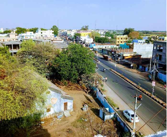
Cheriyal is a Mandal in Warangal District of Telangana State, India. Cheriyal Mandal Head Quarters is Cheriyal town . It belongs to Telangana region . Cheriyal is belongs to Siddipet revenue divison . As part Telangana Districts re-organisation , Cheriyal Mandal re organised from Warangal District to Siddipet district. It is located 79 KM towards west from District head quarters Warangal.
Cheriyal Mandal is bounded by by Kondapak Mandal towards west , Bachannapeta Mandal towards South , Maddur Mandal towards East , Nanganur Mandal towards North . Siddipet City , Jangaon City , Bhongir City , Sircilla City are the nearby Cities to Cheriyal.
Also Check Below Links
Cherial History/Villages
Cheriyal consist of 34 Villages and 25 Panchayats . Tapaspalle is the smallest Village and Cherial is the biggest Village . It is in the 380 m elevation(altitude) . This Place is in the border of the Warangal District and Medak District. Medak District Kondapak is west towards this place . . Warangal (Orugallu) , Medak , Hyderabad , Medaram , Bidar are the near by Important tourist destinations to see.
Cherial is very popular for its places of worships which bring a large number of tourist from in and around Cherial mandal towards its grounds every year.